
:
Top 5 Australian Great Desert tracks
Hema Maps celebrates the release of its 6th Edition of its bestselling Great Desert Tracks Atlas & Guide, featuring 28 epic 4WD trips through Australia’s great desert regions, with full cartography and camping and touring information throughout.
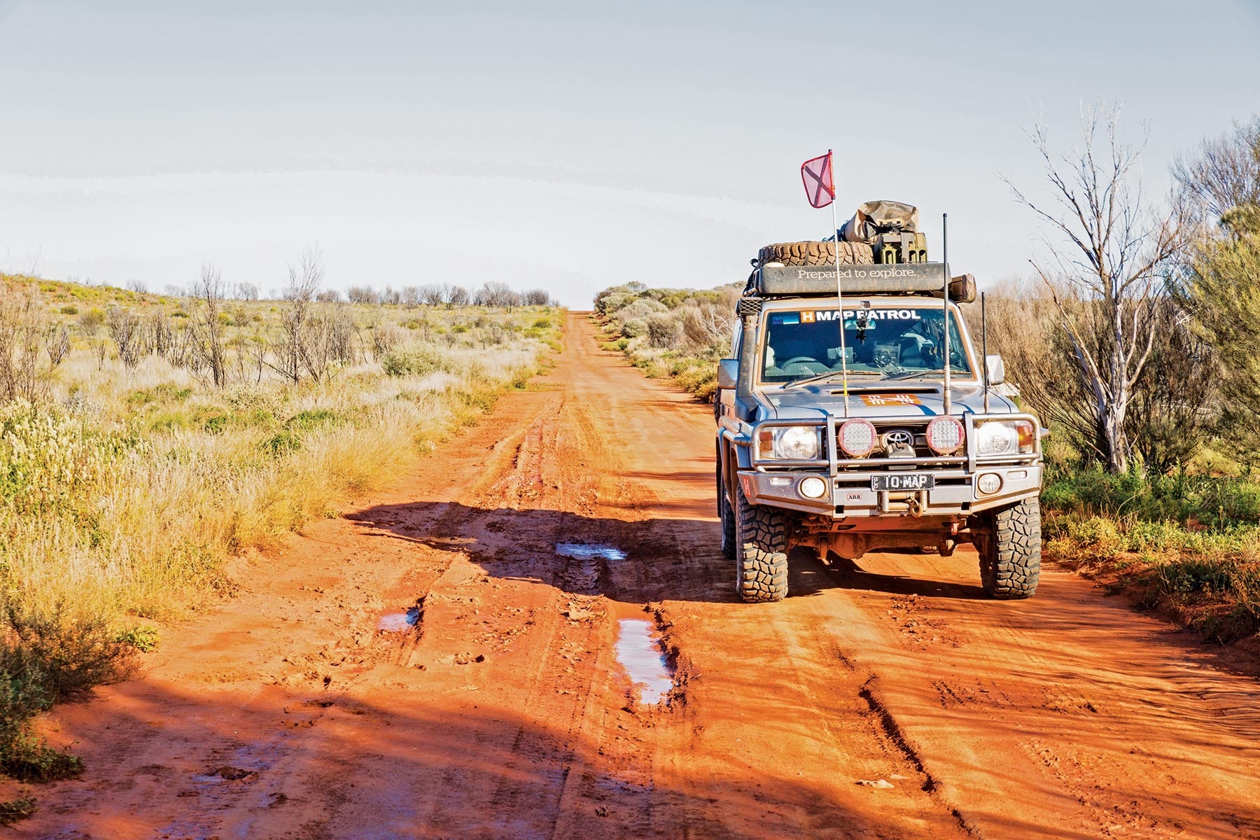
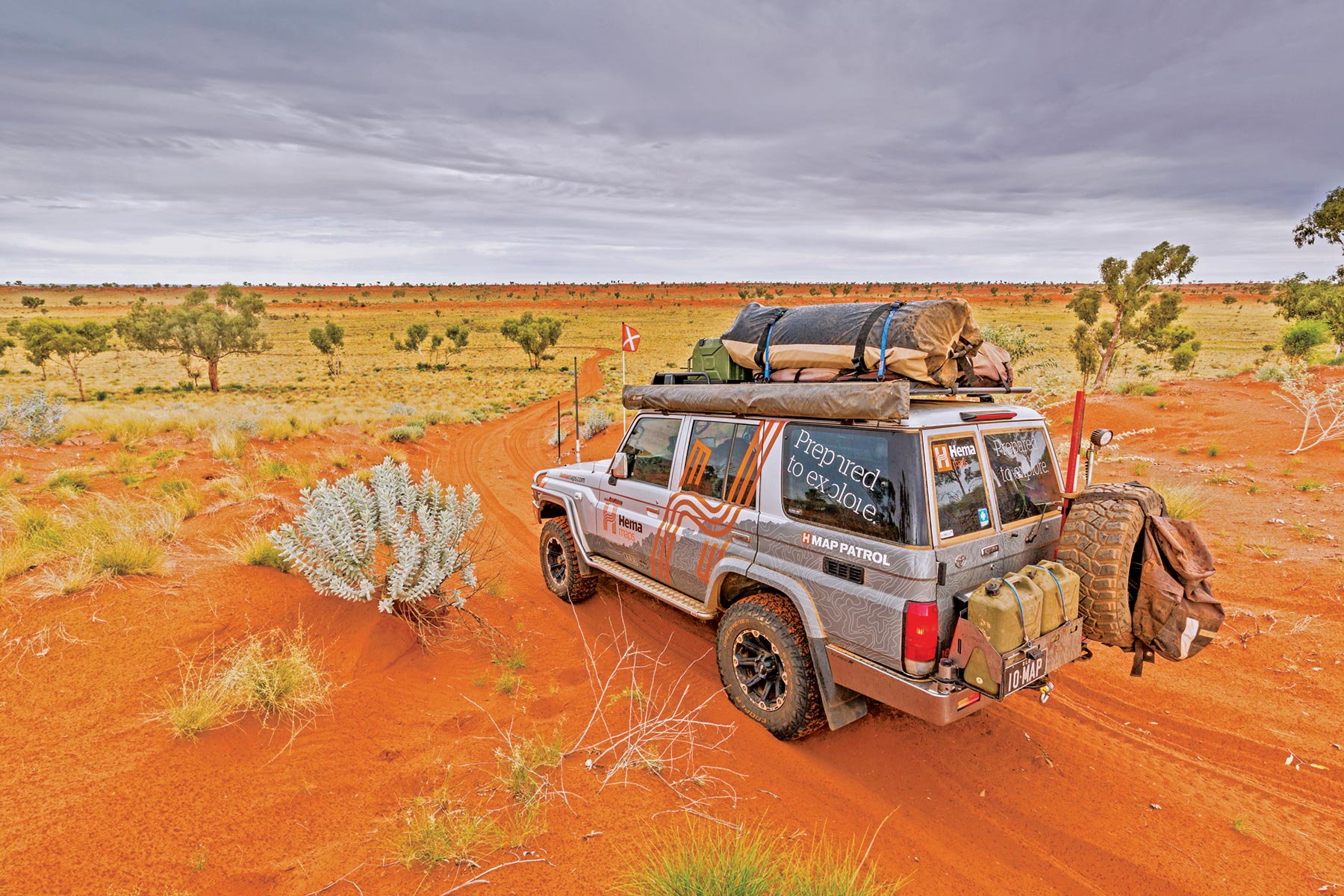
This new edition has been field-checked by Hema’s Map Patrol — ensuring the information is accurate, up to date and checked by actual people. The vast desert regions of our country are unique and home to an amazingly diverse and well-adapted set of flora and fauna, not to mention many breathtaking landscapes. These deserts are also home some of the toughest 4WD routes and environments in Australia, which requires some careful planning and preparation.
Keep reading to learn about our five favourite tracks, including the drive details, 4WD track grade, driving time, distance, best time of year to go and more.
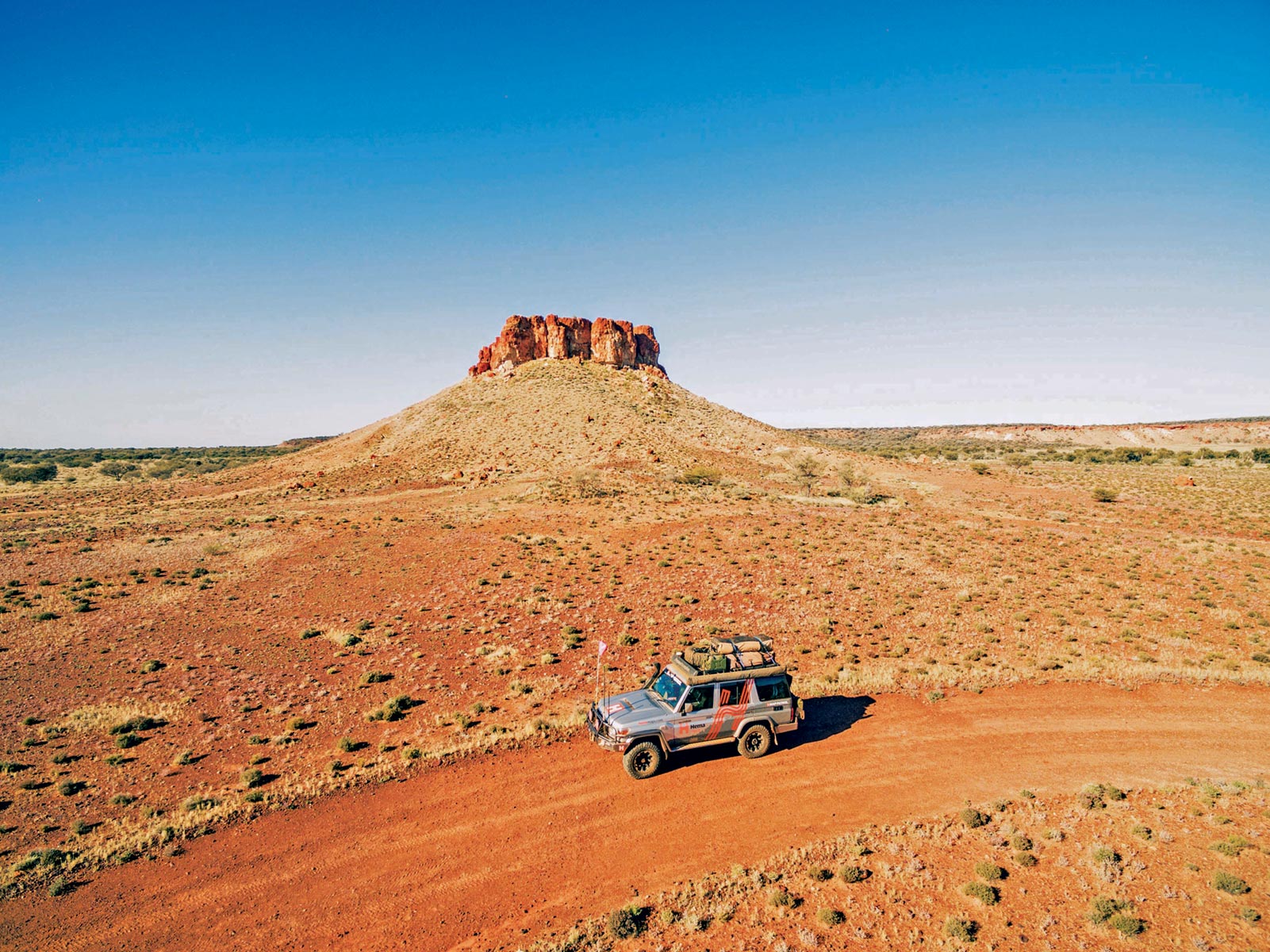
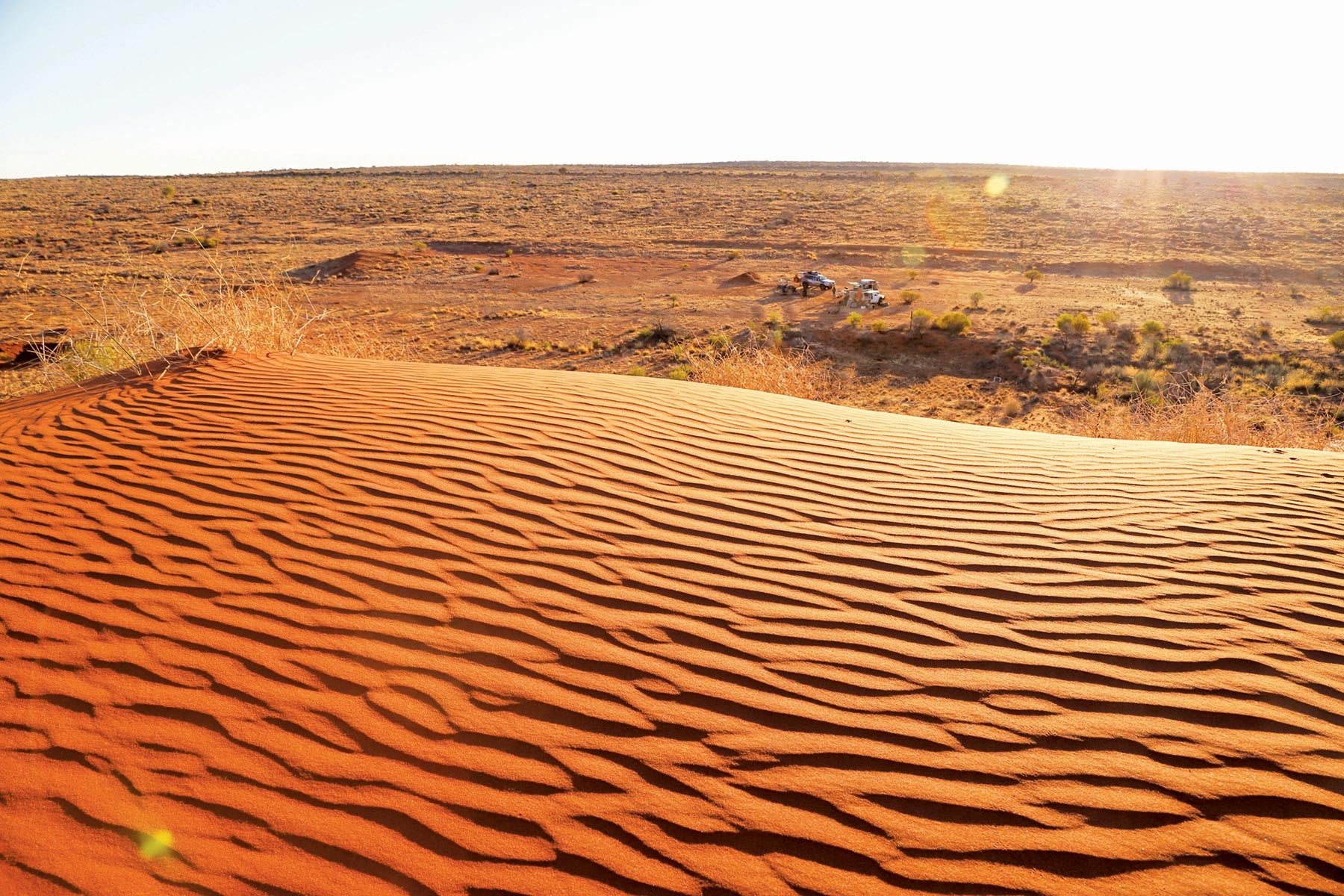
Anne Beadell Highway. Neale Junction Nature Reserve
4WD track grading
Before we get stuck into our favourite desert tracks, we must bring to your attention our 4WD track grading system. Below are the grades and what each one denotes:
E = Easy
All-wheel drive and high range. Novice drivers. Suitable for offroad camper trailers.
M = Medium
Mainly high range 4WD but low range required on occasion. Some 4WD experience or training required. Remote area — reliable and durable vehicle required. Durable offroad campers only.
D = Difficult
Significant low range 4WD with standard ground clearance. Extremely remote area. Experienced drivers only, with a strong, well-prepared vehicle with extended fuel range, dual batteries, heavy duty suspension and all-terrain tyres. No trailers. Convoy travel recommended.
X = Very Difficult
Low range 4WD with high ground clearance. Extreme remote area. Experienced and trained drivers only and should have navigation, first aid and mechanical training. Expedition-proven vehicles only. No trailers. No solo travel.
Track 1: Anne Beadell Highway
Grade: Medium
Driving time: 30 hours (average speed 45km/h)
Trip time: 5–7 days
Distance: 1375km, Laverton to Coober Pedy
Best time of year: May to September. Avoid summer months as temperatures are extremely high.
Anne Beadell Highway. Start & end Of Morton Craig Range
When it comes to remote desert tracks, few compare to the Anne Beadell Highway which starts in Western Australia and ends in South Australia. Named after the wife of Len Beadell — the man responsible for opening up a lot of Central Australia — this extremely remote track runs from the historic gold mining town of Laverton in the west to the ‘Opal Capital of the World,’ Coober Pedy, in the east.
Covering some 1375km, the Anne Beadell Highway passes through the Great Victoria Desert — Australia’s largest parallel dune desert — with limited visibility in places so ensure you have your desert flag fitted and use your UHF to alert fellow travellers of your presence.
The track is not maintained and is heavily corrugated in sections with other parts narrow, twisting, sandy and overgrown.
You will need a transit permit for the Yamarna to Yeo section, which you can obtain here.
WARNING: This is an extremely remote track. Unless you are an experienced desert traveller, solo travel is not recommended.
Track 2: Birdsville Track
Grade: Easy
Driving time: 10.5 hours (average speed 50km/h)
Trip time: 2 days
Distance: 517km, Marree to Birdsville
Best time of year: April to October
The Birdsville Track in South Australia is a famous outback drive from Marree to Birdsville that will present few problems if you tackle it in the cooler months in a well-maintained vehicle and after the road has been recently graded. But remember, this is the outback. If you break down, particularly in the northern half (where there is no shade or water) and in summer, it could be fatal.
The ‘track’ was established by drover Percy Burt in the 1860s as a stock route. By 1916, bores had been sunk at roughly 40km intervals, making it a reliable route.
The road is flat and the land barely above sea level, so it takes very little rain to close it. In the south, the road is wide, stony gravel. North of Mungeranie it is the vast gibber plains of the Sturt Stony Desert. The last 100km to Birdsville is wide, graded, hard-packed sand or clay running between low dunes.
No permits are required.
WARNING: This is a remote area with no reliable water supplies. Light Truck tyres are required for this route.
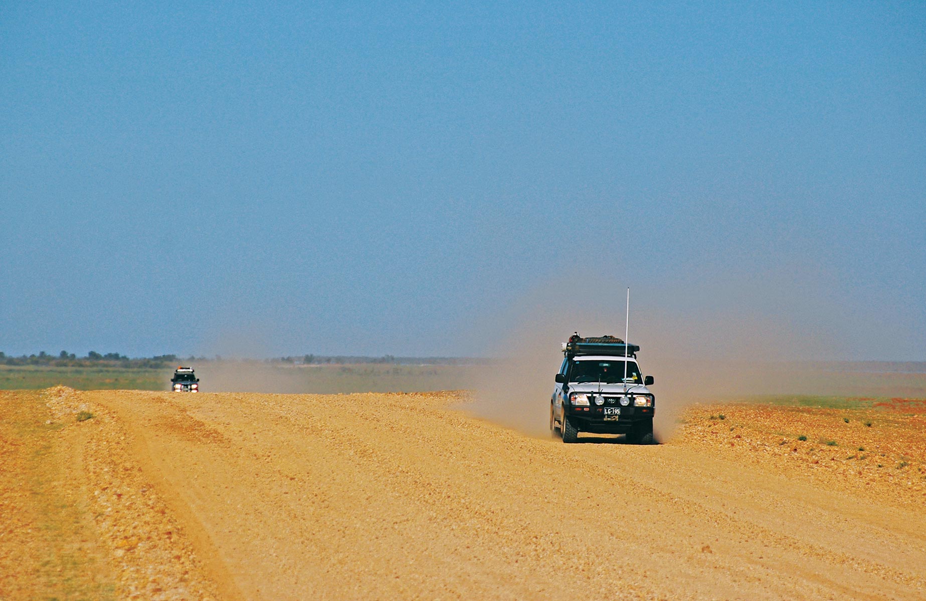
Track 3: Canning Stock Route
Grade: Difficult
Driving time: 66 hours (average speed 24km/h)
Trip time: 12–15 days
Distance: 1575km, Wiluna to Billiluna
Best time of year: May to September. Winter nights can drop below zero and summer can be dangerously hot.
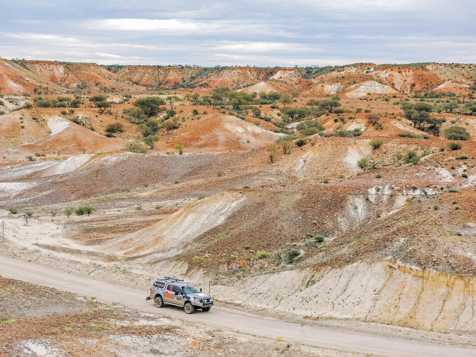
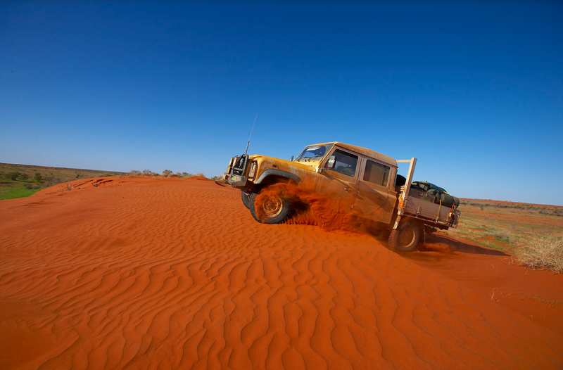
Without a doubt, the Canning Stock Route in Western Australia is one of the most demanding 4WD tracks this country has to offer. And we’re not just talking about the demand on the vehicle. A great deal of physical endurance is also required. There are a lot of kilometres, and even more corrugations, between Wiluna in the south and Billiluna in the north.
Following the route blazed by Alfred Canning back in 1906, or close to it, this track covers almost 1600km of pure offroad heaven. The first 39km, heading north from Wiluna, is easy going on a well-maintained dirt road. Then the track becomes rockier and more rutted.
Along the Canning Stock Route, track conditions vary from soft sand, dunes and corrugated dirt to gibber plains. One thing that doesn’t change is the constant corrugations, so ensure you have quality suspension and tyres.
Please be advised that permits are required for this track, which you can obtain here.
WARNING: The trip requires in-depth research and careful planning. Be self-sufficient with all emergency equipment and ensure your vehicle is in good condition. Take plenty of water.
Track 4: Madigan Line
Grade: Medium
Driving time: 32 hours (average speed 15km/h)
Trip time: 5–7 days
Distance: 716km, Mount Dare to Birdsville
Best time of year: April to October
The Madigan Line — a remote northern crossing of the Simpson Desert mostly in the Northern Territory — is definitely the ‘track less travelled,’ and is not for the faint-hearted or the ill-prepared.
This track starts at Mount Dare and heads north towards Old Andado Station, crossing the Finke River along the way. After Old Andado the track heads north then east through Mac Clark (Acacia Peuce) Conservation Reserve.
As you head east across the Northern Simpson Desert there is little to interrupt your views of the red desert sands. The track becomes more defined as you hit the eastern end, particularly where it joins the Hay River Track.
The track follows the route of Dr Cecil Thomas Madigan, who led a scientific expedition across the Simpson Desert in 1939. He was the one who gave the Simpson Desert its name, after Allen Simpson, then president of the South Australia branch of the Royal Geographical Society of Australasia. The major appeal of the track is the chance to really escape from it all and explore the largely untouched desert.
Please be advised that a permit is required for this track from the Central Land Council.
WARNING: Crossing from west to east is required under the permit conditions and due to the steep eastern sides of the dunes. Only very experienced desert travellers, who are prepared for a long trip and have a well set-up and maintained vehicles, should attempt this track.
Track 5: Oodnadatta Track
Grade: Easy
Driving time: 10 hours (average speed 60km/h)
Trip time: 2–3 days
Distance: 613km, Marla to Marree
Best time of year: April to October
Oodnadatta Track Painted Desert from Mt Batterbee Lookout
The famous Oodnadatta Track in South Australia, which follows a traditional Aboriginal trading route, is known as being one of the most scenic and interesting drives in Australia. For the most part, the country is flat to gently undulating and the gravel road is generally kept in a good condition. The Oodnadatta Track follows the route of both the Old Ghan Railway Line and the Overland Telegraph Line so there are several ruin sites to visit along the way.
It starts at Marla on the Stuart Highway and the road east to Oodnadatta is in good condition. Following the obligatory stop at the Pink Roadhouse, the road becomes rougher, and more remote, especially between William Creek and Marree. Access to Lake Eyre (North) is via the track William Creek to Halligan Bay or via a flight from William Creek.
Remember to always exercise caution and drive to the conditions — the Oodnadatta is not a track to play around on and you don’t want to find out the hard way, especially not in Australia’s deserts.
You do not need any permits for this track.
WARNING: The Oodnadatta Track is renowned for being hard on tyres, so take more than one spare. Driving on the lake surface is illegal and dangerous. The track to Halligan Bay is very sandy.
Safety first
Safety is always a priority when heading into Australia’s beautiful but remote landscapes, and it’s important to ensure you have all the right gear to get you from point A to B and home again in one piece.
Mobile apps or devices such as the Hema HX-2+ GPS Navigator are handy tools for planning, navigating and sharing adventures, with reliable offroad maps.
Having a reliable method of communication is also a must — particularly if you’re planning on tackling a remote 4WD track. Reception isn’t always guaranteed so GPS satellite communicators such as the ZOLEO Satellite Communicator or Garmin inReach can offer you and your family peace of mind when heading into the Great Sandy Desert or other remote destinations.
And of course, ensure you have all the essential recovery gear for desert travel and that you know how to use it safely.
Get a copy of Great Desert Tracks
The new edition (6th) of Hema Maps’ Great Desert Tracks Atlas & Guide is now available for purchase from the Hema Maps website and leading retailers. So, whether you’re a ‘desert lover’ or just want to tackle some of Australia’s greatest 4WD destinations, this informative guide is for you.
Related articles:
How to prepare for one of Australia’s Great Desert Tracks
3 Great Desert 4WD Tracks from an Updated Hema Maps Guide
Next steps
At Hema Maps, we strive to provide the most comprehensive and accurate maps and guides for outdoor enthusiasts looking to explore Australia's natural wonders.
Did you find this information useful? If so, please share it with your fellow explorers. Whether it's by sms, social media, or email, your friends and fellow adventurers will appreciate the valuable tips and insights we've shared.
1 comment


Thanks for the great read. Some tracks I have been on including the CSR but yet to ‘do The Simpson’. Covid put a stop to that plan and now trying to fit it all in.
One minor point that really irked us is that Marree and William Creek only use Optus phones. Last two trips it was really annoying that we couldn’t book the plane flights when we were close to knowing what day we would be there. The Bungles is alo one of those “Optus Exclusive” locations.
From our experience I reckon traveling Bililuna to Wiluna is better for one important reason. You don’t travel half the day into the sun each day. That’s important when trying to see potholes and bumps. Believe me – there are quite a few of those on the CSR.
Happy travels.