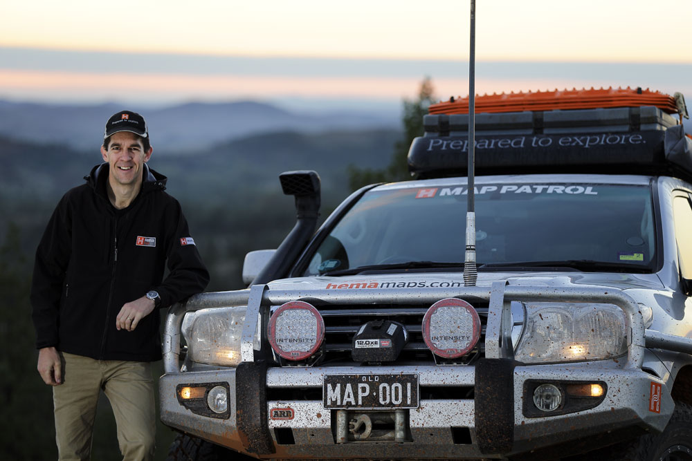
Rob Boegheim has been at the helm of Hema’s push towards digital navigation as the company's managing director, overseeing the rapid rise in popularity and capability of Hema’s digital products like the Hema Navigator HN7 and Hema Explorer. However despite the growing benefits of digital navigation, 25 years of exploring Australia with Hema Maps has taught Rob why traditional paper maps are an essential part of guiding touring, camping and four-wheel drive adventures.
Trip planning
“A paper map is still the best way to get the big picture for any trip, something which digital technology is yet to fully replicate.” says Rob Boegheim, who has planned countless trips in his 25 years as part of Hema Maps and the Hema Map Patrol.
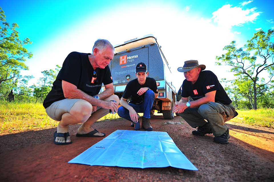
A folded map simplifies trip planning with its unbeatable scope, making it the ideal starting point for planning anything from a one-vehicle weekender or a convoy Cape trip. Over the years as a professional explorer, Rob has had to meticulously plan trips in different regions and with different time spans, honing his process over that time. Yet, despite the availability of both Hema Navigators and mobile apps, his method begins with the unfolding of a map.
Rob Boegheim has been one of the driving forces behind Hema's digital revolution as the company's managing director.
 “Every trip I do, I start with a paper map because it shows me how things are supposed to work over the course of the trip. That’s the basis of everything that follows.” he says.
Indeed, a paper map’s visual real estate informs travellers what route to take, distances and overall expectations for an adventure, so involving one in these decisions will give you a broader perspective to work with when planning.
Expecting the unexpected
A paper map’s size and physicality works twofold when it comes to dealing with unexpected and unaccounted emergencies.
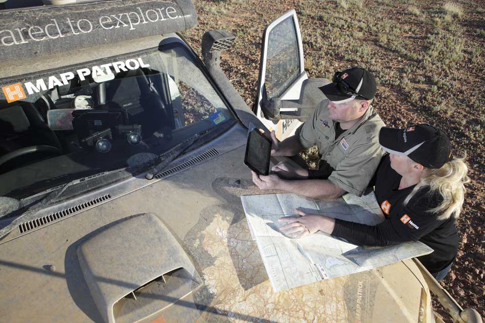
“There’s always been two ways of navigation, spatially and directionally. Looking at something that captures a region like a paper map before a trip and at the start of each day means that when I’m on the road I always have an imprint in my mind of what is next.” Rob says, who trusts the overview of a paper map to plan alternative travel options in the event of time delays, mechanical issues or otherwise.
That particular progression, from planning at home to discovering somewhere in the bush, then instantly transforms your basic paper map from planning tool into cheap insurance. Though the likelihood of technological failure is rare in most cases, a paper map is always an essential backup that will pay dividends when called upon on the track.
Traditional maps and digital navigation tools go hand-in-hand, especially in remote areas.
 Tourers and remote area travellers have always prided themselves on their ability to prepare for any outcome, just as Australia’s inquisitive pioneers were once inclined to do, meaning a backup navigation tool for guiding you in an emergency is just another necessary part of being an explorer.
Getting inspired
“As an explorer, it’s a real pleasure to engage with a map and dream about where you want to go or are yet to go.” says Rob.
Tracing a finger over a map of Australia to either plan ahead or reminisce is a familiar experience for dyed-in-the-wool travellers, not to mention a good habit for inspiring a new adventure. Put a map on the wall next to a calendar to peruse when you walk by, and see how much more you reflect on how you can get out more often. Whether it’s getting friends on the same page for a weekend escape or committing to a date for that long-awaited Simpson Desert crossing, having a map out in the open is the ideal reminder of what you’re working towards as someone who uses their spare time to explore Australia.