


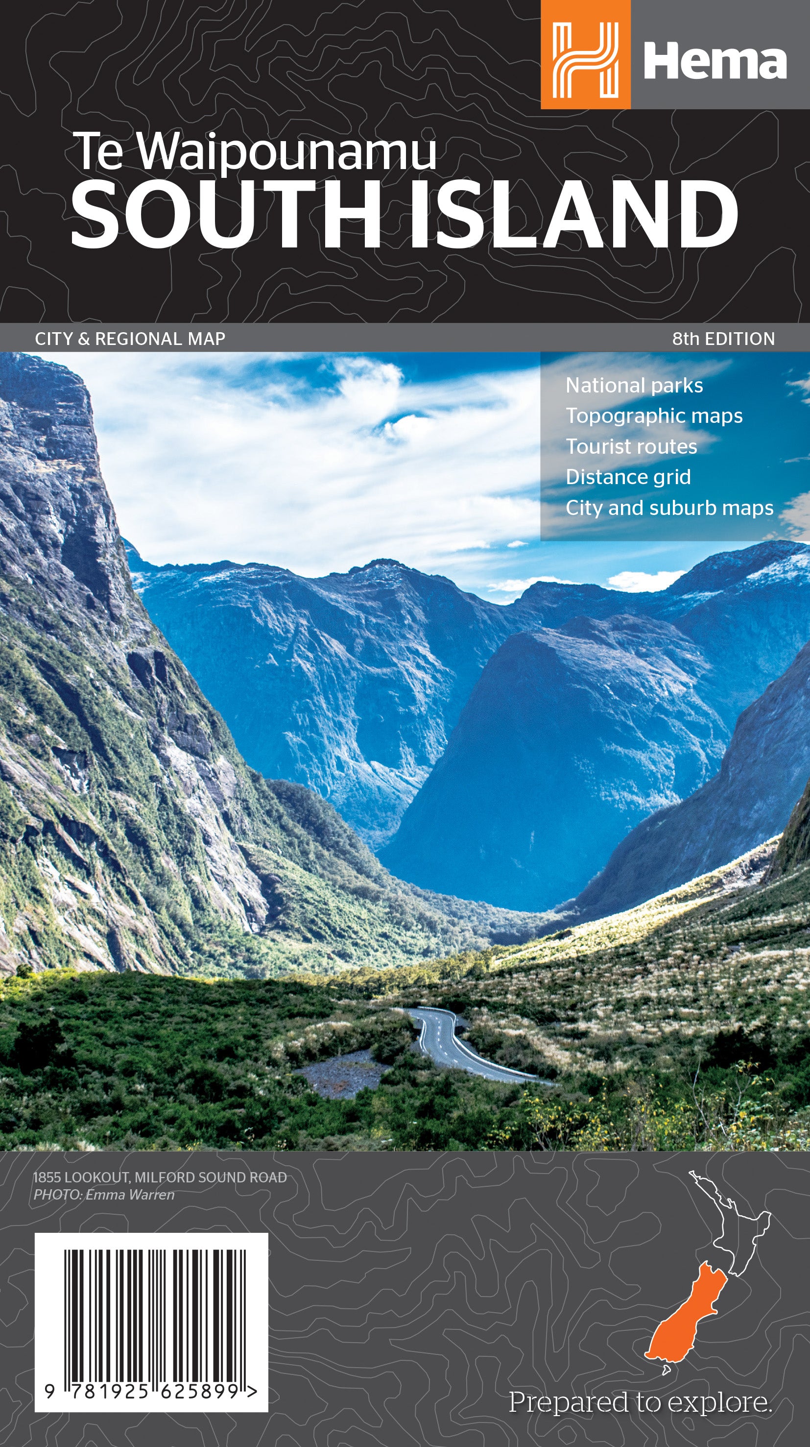
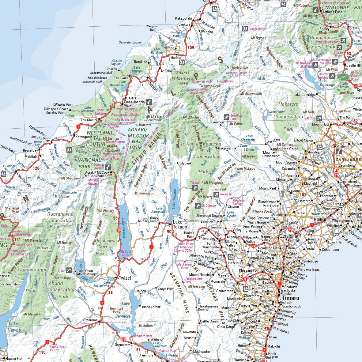
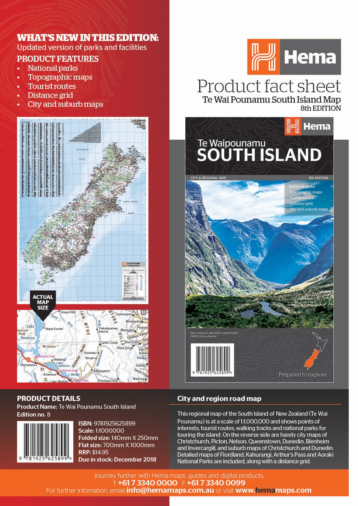
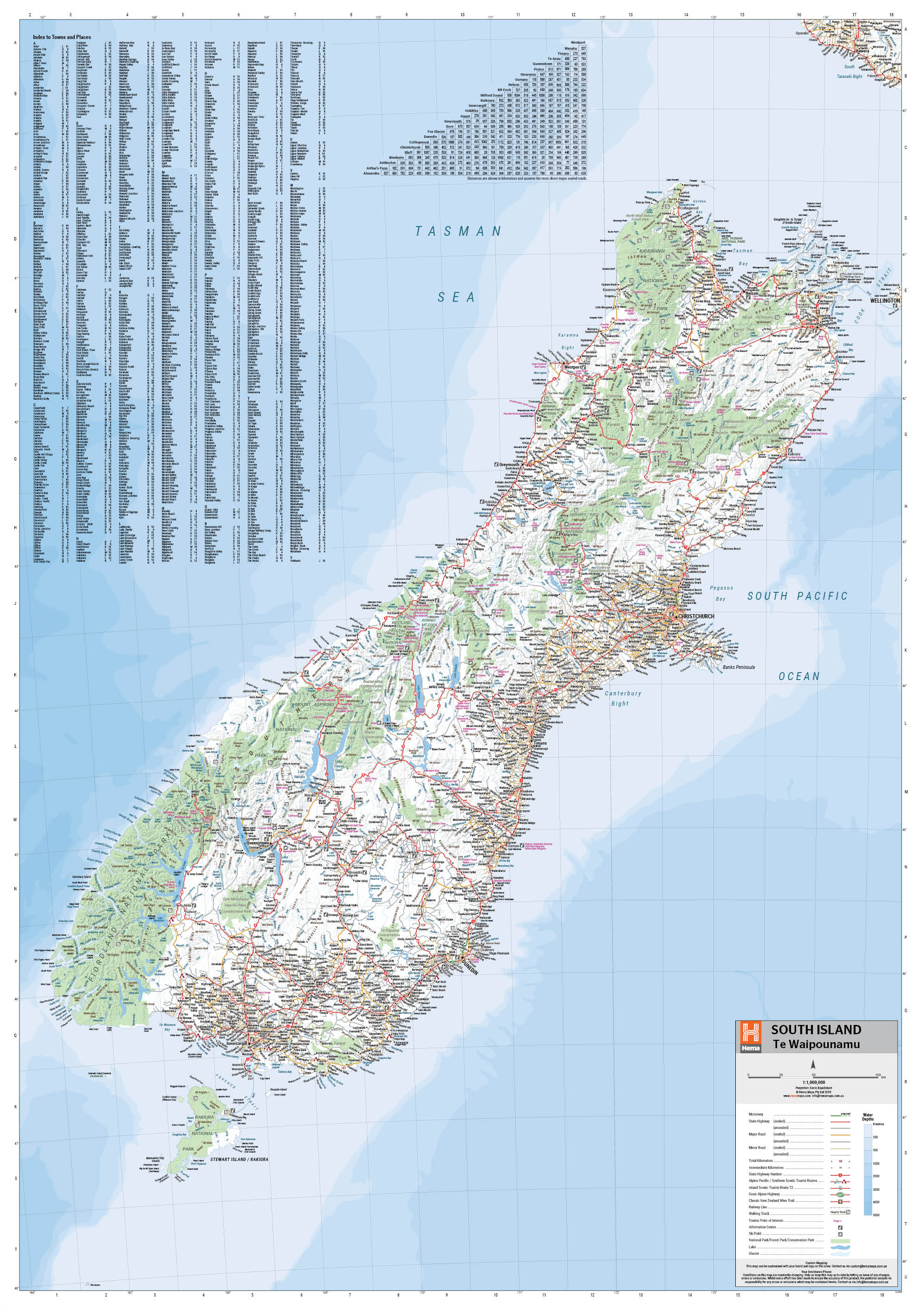
South Island New Zealand Map (Te Waipounamu)
This regional map of the South Island of New Zealand (Te Waipounamu) is at a scale of 1:1,000,000 and
shows points of interests, tourist routes, walking tracks and national parks for touring the island.
On the reverse side are handy city maps of Christchurch, Picton, Nelson, Queenstown, Dunedin,
Blenheim and Invercargill, and suburb maps of Christchurch and Dunedin. It also includes
detailed maps of Fiordland, Kahurangi, Arthur’s Pass and Aoraki National Parks along with a
distance grid.
Product Features
• National parks
• Topographic maps
• Tourist routes
• Distance grid
• City and suburb maps
Key Features
- Points of interest
- Tourist Routes
- National parks
- Walking Tracks
- Auckland and Wellington Suburb Maps
- Distance Grid
- Fully indexed
Key Specifications
Edition: 8th
Publication Date: 19/12/18
Scale: 1:1,000,000
Folded size (WxHxD): 140mm X 250mm x 3mm
Flat size (WxH): 700mm X 1000mm
Weight: 0.09kgs
You may also like...

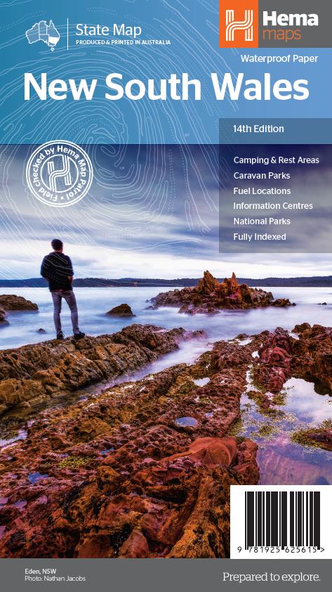

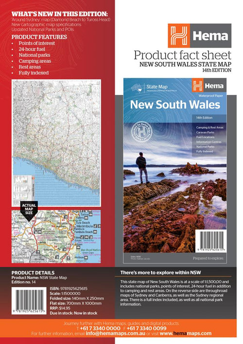
New South Wales State Map
- Regular Price
- $14.95
- Sale Price
- $14.95
- Regular Price
-
- Unit Price
- Translation missing: en.general.accessibility.unit_price_separator

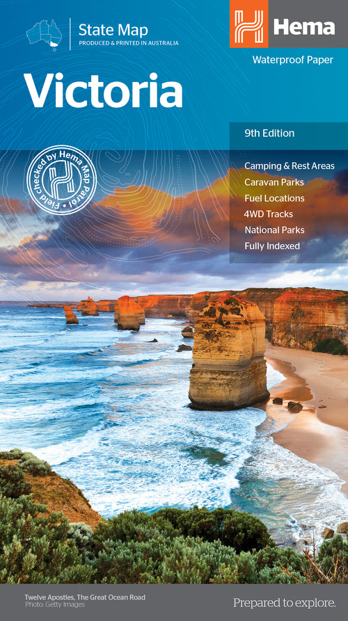

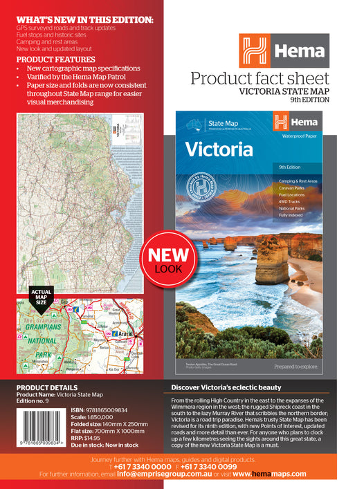
Victoria State Map
- Regular Price
- $14.95
- Sale Price
- $14.95
- Regular Price
-
- Unit Price
- Translation missing: en.general.accessibility.unit_price_separator

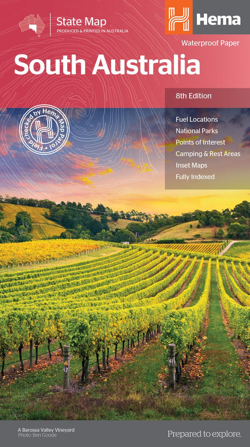

South Australia State Map
- Regular Price
- $14.95
- Sale Price
- $14.95
- Regular Price
-
- Unit Price
- Translation missing: en.general.accessibility.unit_price_separator

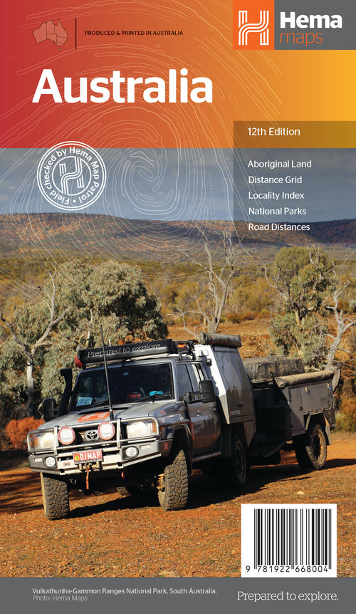

Australia Large Map
- Regular Price
- $14.95
- Sale Price
- $14.95
- Regular Price
-
- Unit Price
- Translation missing: en.general.accessibility.unit_price_separator

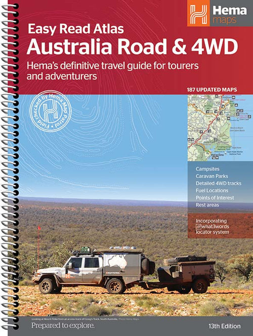

Australia Road & 4WD Easy Read Atlas - 292 x 397mm
- Regular Price
- $49.95
- Sale Price
- $49.95
- Regular Price
-
- Unit Price
- Translation missing: en.general.accessibility.unit_price_separator
Related Articles


Exploring Old Telegraph Track North, Cape York Qld
The northern section of the Old Telegraph Track, which runs from Bamaga Road to...

Top 5 Australian Great Desert tracks
Hema Maps celebrates the release of its 6th Edition of its bestselling Great Desert...


Gary Junction Road - The Outback's Heart
Words Chris Whitelaw The Gary Junction Road has been described as one of the best...